
 Facebook
 Twitter
 LINE
LINE
The Changhua County Gazetteer (1832) records that Gaomei (高美) was formerly known as Gaomi, and it was not renamed Gaomei until the Japanese occupation period (日據時期). The origin of the name Gaomi is not entirely clear. An examination of local residents’ ancestral origins in the Quanzhou area of Fujian Province, China, also does not reveal the name Gaomi. However, according to historical map materials, the Gaomei area once had a Sihkuaicuo Stream (四塊厝溪), with water so deep that its depth could not be seen. Before the West Coast Expressway (西濱道路) was constructed, local residents had to pole boats across the Sihkuaicuo Stream before reaching where is now the Gaomei Wetlands to engage in fishing work. Because the water was so deep that the bamboo poles used for poling boats were nearly submerged, people referred to this area as “Gaomi.”※ In Taiwanese pronunciation, the word for “pole (竿)” and “gao (高)” share the same pronunciation, and “mi (密)” carries the meaning of being submerged, so it was called “Gaomi,” also written as “Gaomi (高密)” or “Kaomi (篙密)”. However, “Gaomi” was a general term for a broader area, including small settlements on the river mouth delta along the south bank of the Dajia River (大甲溪), such as Xidi, Fanziliao, Dinghaikou, Yuliao, Jiuzhuang, Dingniupu, Xianiupu, and Xitou (溪底、番仔寮、頂海口、魚寮、舊庄、頂牛埔、下牛埔、溪頭). In other words, the Gaomi Village of the past refers to where is now Gaomei, Gaoxi, Gaonan, and Gaobei villages in today’s Qingshui District (今清水區的高美里、高西里、高南里、高北里等里昔日所稱之高密庄). As the Gaomei area is located in Qingshui District, the community development of the Gaomei area should be traced back to the Qingshui area. The settlement development of the Qingshui area can be traced back to the Niumatou Culture (牛罵頭文化) from approximately 3,500 to 4,500 years ago. During the Qing dynasty (清朝), before Han Chinese (漢人) influence successfully advanced into the Qingshui area (清水區), the Qingshui area was originally the residence for the Atayal Indigenous people (泰雅族原住民). However, not until 5 BC did the Papora people of Plains Indigenous (平埔族的拍瀑拉族) drive the Atayal into the mountain areas and then settle locally. The government of Qing dynasty did not truly take control of the entire Qingshui area until 1699, after suppressing the unrest of the Tunxiao She (Tongxiao) (吞宵社, 通霄), and stationed troops there for defense at that time. Possibly because the production and agricultural techniques of the Plains Indigenous (平埔族) were not as developed as those of the Han Chinese, the Han Chinese gradually gained the upper hand and only entered the Qingshui area for cultivation in 1701. During this period, although the Qingshui area was gradually developed, historical records still do not show the Gaomei area being cultivated. In central Taiwan, the
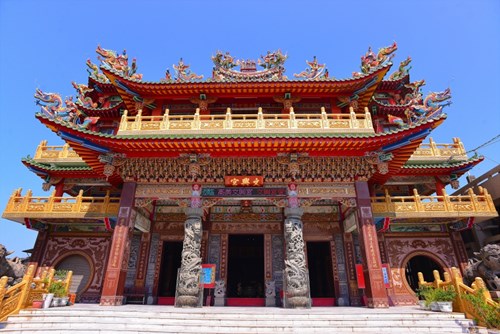
Lin Shuangwen rebellion (林爽文事件) of 1786 forced the Cantonese people (廣東人) originally living on the south bank of the Dajia River to relocate to Nankeng Village, Huludun, and Dongshijiao (南坑庄、葫蘆墩和東勢角), contributing to another wave of Han Chinese immigration into the Qingshui area. The area now known as the Santian area (三田地區) (also in Qingshui District, Taichung City) is where Cantonese immigrants later moved in and settled. Overall, the settlement development of the Qingshui area should be understood as beginning with the Niumatou Culture, extending to the development of the Santian area, and only later followed by the development of the Gaomei area (高美地區). This historical evolution can also be evidenced by Wenxing Temple (文興宮) established in the Gaomei area in the late Qianlong period of the Qing dynasty (清朝乾隆末年). ※※
※Some oral history provided by Mr. Mu-Sen Tsai (蔡木森先生). ※※ Reference sources include the website of the Ocean Taiwan Cultural and Educational Foundation, and Shao-pin Tsai (蔡紹斌), Qingshui First Street – Dajie Road: Tracing the Origins (《清水第一街-大街路,尋根溯源》), first published in 1996, Di Jin Enterprise Co., Ltd (地景企業股份有公司). The place-name information below references Min-Lin Hong (洪敏麟) , Taichung County Place Name History Compilation, Volume 1 (1993) (臺中縣地名沿革專輯), Taichung County Cultural Center.